Tauranga with a population of approximately 108,000 is the sixth largest city in New Zealand.
Tauranga is located at the head of a large harbour which extends along the western Bay of Plenty, and is protected from the Pacific Ocean by Matakana Island.
Matakana Island extends 24 km between the Katikati entrance at Bowentown and the Tauranga entrance at Mt Maunganui.
The harbour is a large tidal estuary with an area of some 200 square km. Approximately 290,000,000 tonnes of water flow through the entrances at each tidal change.
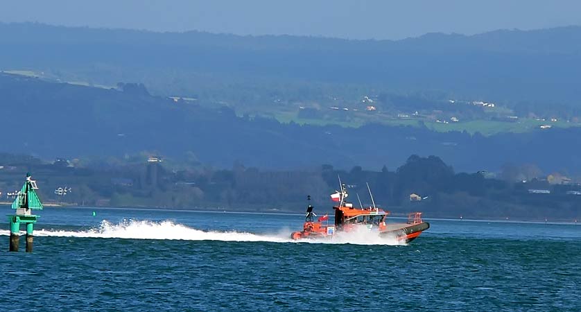
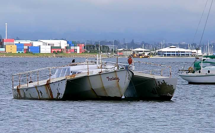
The Tauranga harbour entrance is the shipping channel providing access to the Port of Tauranga, New Zealand’s largest export port.
Total cargo through the Port for 2005 was 12.6 million tonnes.Compriseing import cargo of 5.2 million tonnes and export of 7.3 million tonnes.
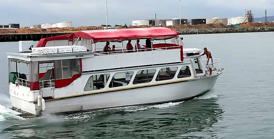
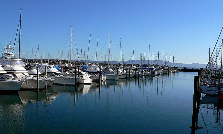
The port is also a stopping off point for cruise ships during the summer season.
Tauranga is a Maori word meaning "sheltered anchorage".
The town and headland of Mount Maunganui stand at the entrance to the harbour,dominated by Mauao(Mt Maunganui)a 230 meter high extinct volcanic cone ,five kilometers north of Tauranga.
Tauranga is connected to Mt Maunganui by a 478 meter long road bridge built between 1986 and 1988.
All Images Copyright 2006.
